IEEE T-RO · 2024T-RO
A tree-based next-best-trajectory method for 3-D UAV exploration
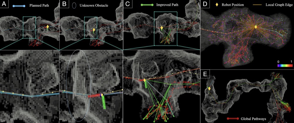
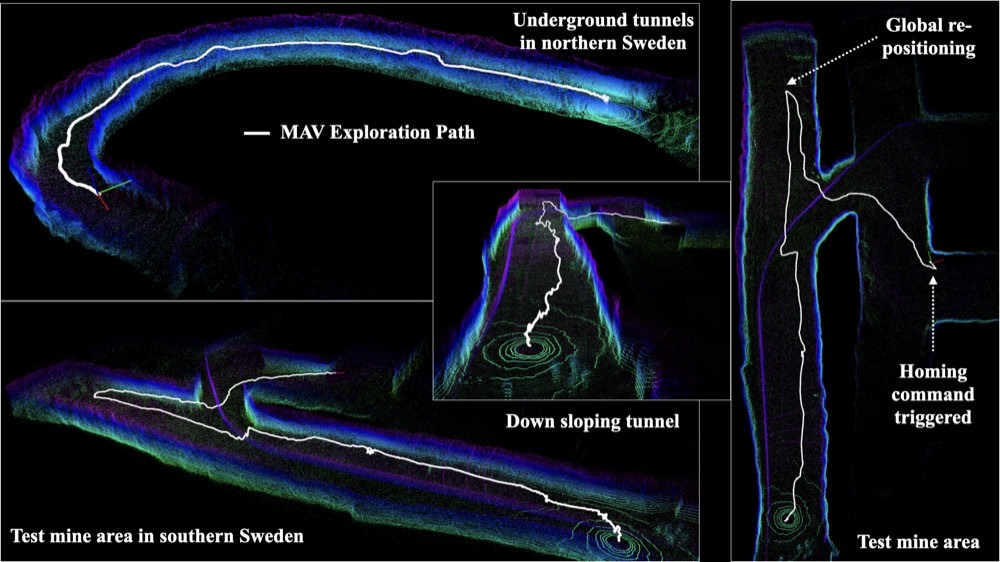
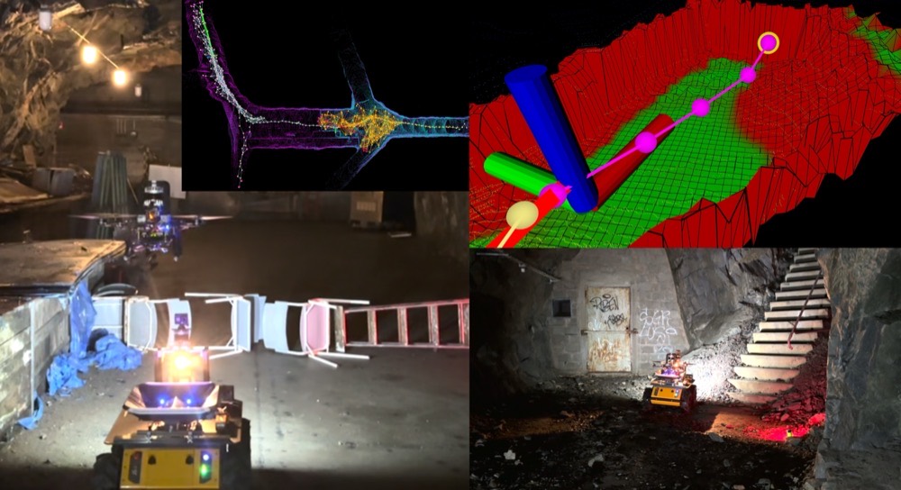
ERRT is a fully integrated, ROS-based planner that combines local exploration, safe path planning, and actuation into a real-time sampling framework. Validated in simulation and in real subterranean field trials.